Te Waipounamu tangata whenua place names map index
The names shown on this map have been sourced from:
direct collaboration with Te Runanga o Ngai Tahu and feedback from Te Tau Ihu iwi
the 1st editions of Te Ika-a-Maui and Te Wai Pounamu circa 1840 maps published in 1995 by the Department of Survey and Land Information for Nga Pou Taunaha o Aotearoa New Zealand Geographic Board
Treaty of Waitangi claims’ settlements.
The cartography is a best attempt to represent the landscape at it was in the early 19th century. This map is at a scale of one to a million so not all known tangata whenua place names were able to be included – only those that are the most prominent or culturally significant. Space limitation on the back of the maps meant the korero where known is brief.
For further information about any of these names or for other Aotearoa New Zealand place names please see the New Zealand Gazetteer. For comments and feedback on the maps and/or names, please contact the Board at NZGBenquiries@linz.govt.nz. Changes can be made in the next revisions and/or editions of the printed maps, and periodically in the digital versions.
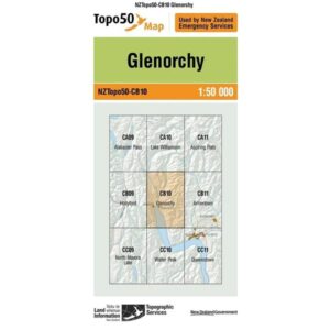
Format: Map
Imprint: Land Information NZ


