
New Zealand Travellers Road Atlas is spiral-bound, handy-sized road atlas, with enlargements for environs of main towns, street plans of town centers, an index of localities, roads/tracks and streets, plus information driving regulations. The main section of the atlas is at 1:500,000 with detailed presentation of the road network from motorways to 4WD tracks. Railway lines, ferry routes, local airfields and airstrips are marked. National Parks and protected areas are highlighted, and symbols mark places of interest, a very wide range of sport and recreational facilities, wine growing areas, hot springs and thermal areas, campsites and motorhome/caravan parks, etc. Selected waking tracks are also shown, including the New Zealand Walkway and the Te Araroa Walkway. No geographical coordinates are provided. More detailed mapping at scales between 1:350,000 and 1:175,000, conveniently summarized on an overview map of the whole country, covers Northland and Auckland area, Waikato and Bay of Plenty, Hawkes Bay – Manawatu – Wellington area, Nelson – Marlborough area, and Christchurch – Otago – Southland area. Street plans are provided for over 30 town centers, including all main cities, showing one-way streets, parking facilities, public toilets and places of interest. A 43-page index has separate lists of cities/towns/localities and rural features (mountain and passes, coastal and water features, ski fields/tracks/parks/forests) plus road and street names on the enlargements and street plans. The atlas also includes a list of over 100 of the country’s main places of interest, each with a brief description and cross-referenced to the road maps, a list of the visitor centers, a section on road safety and traffic signs, and a distance table.
Format: Spiral Bound
Imprint: Kiwi Maps
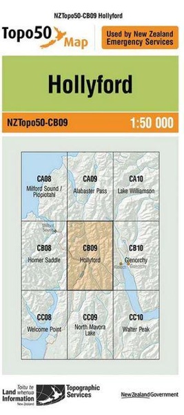
Series: Product number 204
SCORPIO BOOKS
Five Lanes, The BNZ Centre
120 Hereford Street
Christchurch Central City
Ph: (03) 379 2882
TELLING TALES
Five Lanes, The BNZ Centre
101-111 Cashel St
Christchurch Central City
Ph: (03) 741 3309
FREE SHIPPING WITHIN CANTERBURY
($4 RURAL SURCHARGE)
FREE NZ SHIPPING FOR ORDERS OVER $100