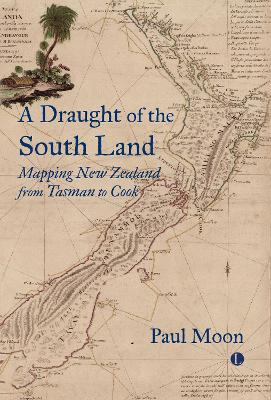
The story of how the map of New Zealand emerged
is a fascinating one. The first full map of the islands was published in London
in 1773, which might seem the natural starting point, but over the preceding
150 years, fragments of charts and intelligence about New Zealand ricocheted
around various parts of the world. In A
Draught of the South Land, Paul Moon provides the first comprehensive
account of this piecemeal process.
Moon’s investigation covers several continents
over more than a century, and reveals the personalities, blunders, strategic
miscalculations, scientific brilliance, and imperial power-plays that were
involved. Above all, he examines the roles played by explorers and traders,
Maori and European rulers, scientific societies and military groups, as well as
specialist cartographers and publishers. At a time when maps as colonial tools,
enablers of trade and objects of curiosity are being studied anew, his careful
analysis and engaging narrative will be of interest to scholars everywhere.
Format: Paperback
Pages: 240
Imprint: Lutterworth Press
Publication date: 25/04/2024
SCORPIO BOOKS
Five Lanes, The BNZ Centre
120 Hereford Street
Christchurch Central City
Ph: (03) 379 2882
TELLING TALES
Five Lanes, The BNZ Centre
101-111 Cashel St
Christchurch Central City
Ph: (03) 741 3309
FREE NZ SHIPPING FOR ORDERS OVER $100