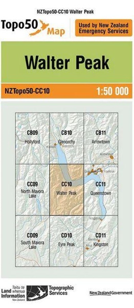
Topo50 is the official topographic map series used by New Zealand emergency services.
The Topo50 map series provides topographic mapping for the New Zealand mainland and Chatham Islands at 1:50,000 scale.
Format: Map
Imprint: Land Information NZ
Publication date: 09/09/2009