Features
Legend key:
Reference links indicate a relevant warning note or important information.
Map uses symbols to represent features on the ground which include roads, tracks, rivers, lakes, vegetation, fences, buildings, power lines, etc. Symbols are grouped into themes on the legend key (e.g. \”roads and tracks\”, \”railways\”, \”relief features\”). Note that given it is not possible to represent every feature on the ground, different scale maps show different levels of information. Larger scale maps show more detail and a greater number of features.
Colour plays an important part in symbols. For example, blue is used for water features, black for cultural features and green for vegetation features.
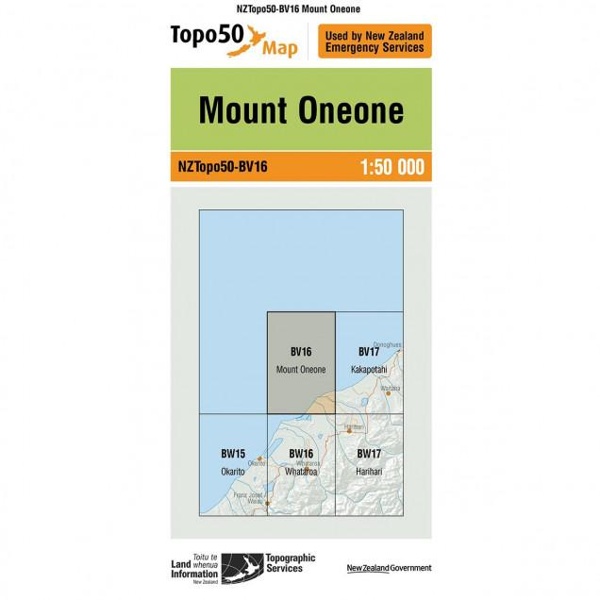
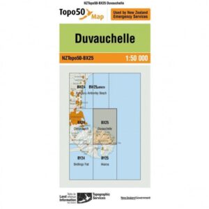
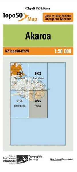
Back cover: Displays a locality indicator to easily see where the map sheet fits within the island-wide geographic region. Highlights warnings and important information, refers to the LINZ website, displays the product barcode, and includes an invitation for advice of errors or omissions.
Front cover: Redesigned to clearly distinguish it from the Topographic NZMS260 series. Adjacent sheet names are shown on the reference panel. An awareness panel helps identify the latest national map series first edition.
Format: A1 portrait (i.e. 59.4 x 84.1cm).
Map reading references: Projection parameters provide information for the map user, including scale and information on grid referencing.
Format: Map
Imprint: Land Information NZ
Publication date: 15/03/2023